
Eruptions from 1804 to 2000
The history of Mount Batur is the history of a young volcano growing inside an older caldera. UNESCO records at least 22 eruptions between 1804 and 2000. Among the larger episodes are the lava flows of 1963 to 1964, an eruption in January 1968 followed by lava from the end of that month, an eruption on 12 March 1974, and activity from 1994 to 2000, including gas explosions in 1997 and a new crater in 1998. The 1999 to 2000 phase also claimed the lives of two visitors, a reminder that the mountain is active.
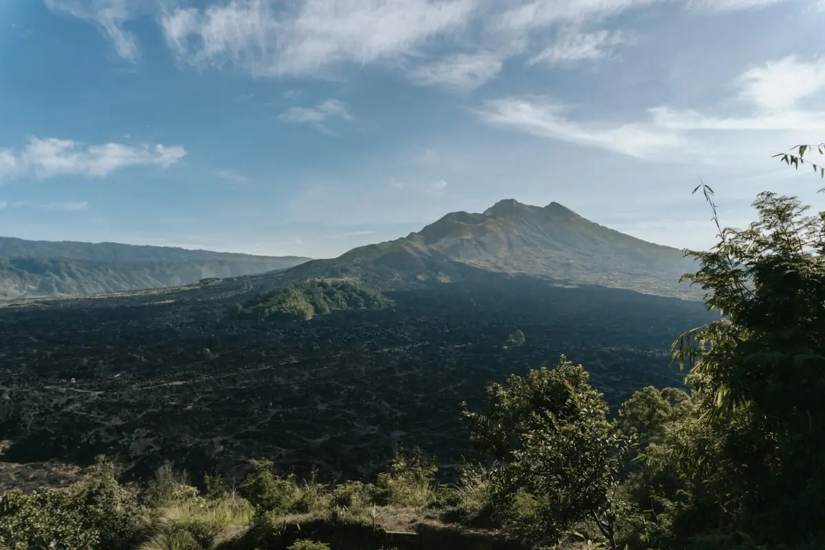
That is why the black lava seen on the jeep tour comes from several eruptions, not from a single year. Today you can climb the cone with a guide, as explained on the climbing page.
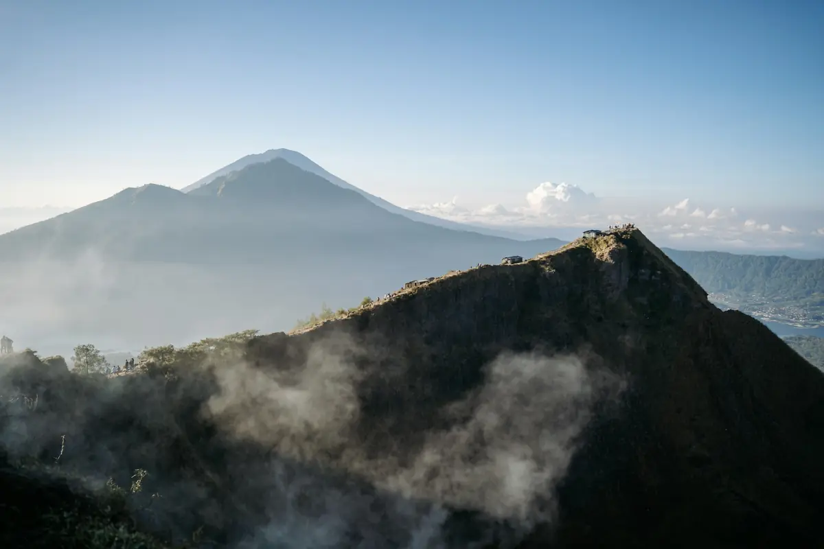
Smoke rising from the slopes of Mount Batur
Our pick: a jeep to the black lava field
This private jeep tour visits the black lava field below the volcano, with all entrances and breakfast included.
Hand-picked tours, booked through Viator. Prices are indicative starting prices in US dollars (as of October 2026). Tap a tour for live availability and the current price in your currency.
Visit Mount Batur today
Guided treks, jeep rides to the lava field and caldera day tours, with live prices and availability.
1917: earthquake or eruption?
In early 1917, strong earthquakes shook Bali and damaged the Batur temple. Accounts of that year differ on whether the volcano itself erupted: some lists record a Batur eruption in 1917, while the damage to the temple is commonly described as earthquake damage. Because details vary, it is safest to speak of the 1917 events at Batur without assigning a single cause.
1926 and the move of Batur village
The eruption of 1926 destroyed the old village of Batur and its temple. People fled and spent around two years in Bayung Gede. The provincial tourism office dates the present temple complex to 1926, while BKSDA dates the choice of the new village site to 1930. According to the provincial tourism office, the eleven-tier meru shrine survived the destruction. The present temple, Pura Ulun Danu Batur, stands on that rim and is dedicated to Dewi Batari Ulun Danu, the goddess of lakes and rivers in local belief.
Rarud Batur centenary 2026
On 29 July 2026 the community marked 100 years of Rarud Batur, with a memorial at the site of the old village. Rarud means moving away together, which describes how the villagers left. The anniversary keeps the story of the move alive for a new generation.
Mount Batur facts
The volcano reaches 1,717 m. It sits inside a double caldera with a crescent-shaped lake and has been a UNESCO Global Geopark since 2015, covering 36,640 ha. Do not confuse this label with UNESCO World Heritage. The PVMBG daily report for 29 October 2026 lists Level I (Normal). Before a climb, read the practical advice on the entrance fee and weather pages.
How the caldera formed
Long before the recorded eruptions, a huge caldera formed about 29,300 years ago, with the outer rim measuring roughly 13.8 by 10 km. Inside it a younger cone grew, and the lake settled into a crescent beside it. This layered landscape of concentric calderas is the reason Batur became a geopark. Standing on the rim at Penelokan, you can read the whole story in one view, from the old wall to the cone and the lava fields below. Find more viewpoints on the things to do page.
Mount Batur history: frequently asked questions
When did Mount Batur last erupt?
Major recorded activity ran from 1994 to 2000. The PVMBG daily report for 29 October 2026 lists Level I (Normal).
How many times has Mount Batur erupted?
UNESCO records at least 22 eruptions between 1804 and 2000.
Why was Batur village moved?
An eruption in 1926 destroyed the old village and temple, and the community rebuilt on the caldera rim.
What does Rarud mean?
It means moving away together, and it gives its name to the 2026 centenary of the move.